Poughkeepsie and Eastern Railroad (P&E)
Details regarding section between Pleasant Valley and Upton Lake
When compiling the Rhinecliff Branch page, my curiosity was roused about the P&E as well. It was another abandoned railroad in the vicinity.
(I will be updating this page at some point with field photos...)
A Brief History of the Line
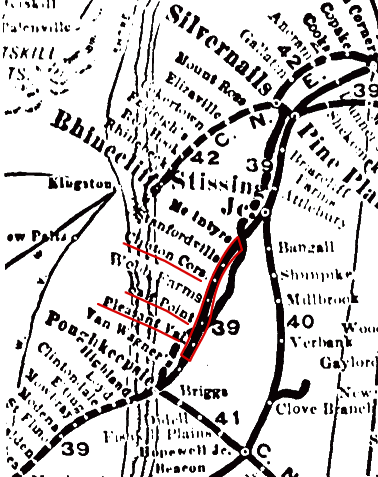
The line opened on January 24, 1871 and ran from Poughkeepsie to Stissing. After numerous bankruptcies and reorganizations; in 1907 the New York, New Haven and Hartford Railroad bought it and on June 25 merged it into the Central New England Railway (CNE). The CNE had been forced to build the parallel Poughkeepsie and Connecticut Railroad in the late 1880s due to the Poughkeepsie and Eastern's refusal to sell. In 1910 the P&C was abandoned between Salt Point and Pine Plains, with trains rerouted over the P&E. With the 1925 abandonment of the P&E from Ancram Lead Mines northeast to Boston Corners, the P&C served as the sole route east of Pine Plains (it too was closed in 1932). Abandonment came in 1938 to the rest of the P&E. (Source)
1894/1904
Google Street Views and Bing Bird's Eye Views 

A simple scoot off the Taconic was all it took to get theese photos thanks to prior research using Google and Bing.
-P&E-
- Clinton Corners (Google) | Clinton Corners - Shephard’s Way (Bing)
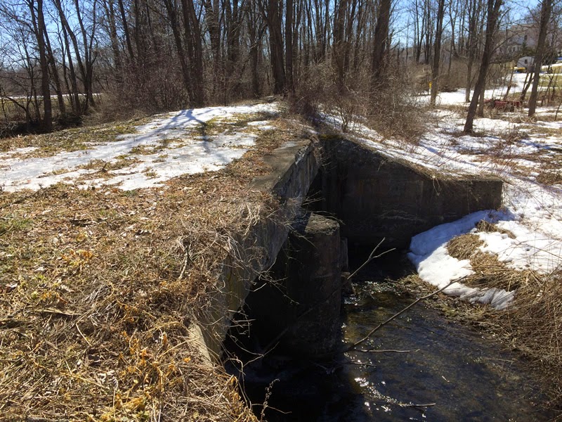
- Clinton Corners - Bridge Remnant | Right next to Friends Park-
 Photo 1 (click to show/hide)
- Old ROW Just South of Route 115
- Abutment - Salt Point NY (Bing) Photo 2 (click to show/hide)
- Along Upton Lake (Bing)
Scroll to follow the ROW - Pleasant Valley - Bower Park (Google)

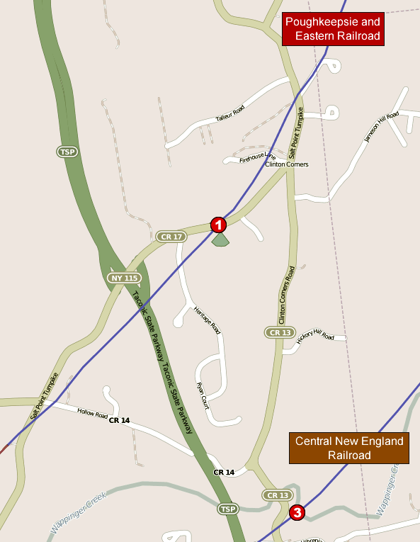
Clinton Corners and Hibernia Photo Locations
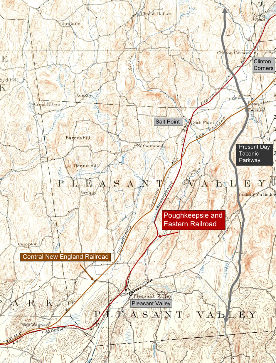
-CNE-
- CNE Abutment South of Salt Point (Bing)
- Hibernia - Abutments Photos 3 (click to show/hide)
| Historic Photo

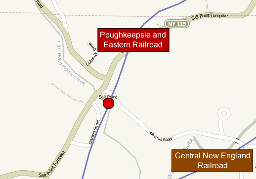
Salt Point Photo Location
Further Info
- About the Bower-Quarry Trails
- Retracing Abandoned Railroads in Dutchess County
- The Poughkeepsie and Eastern Railroad (The Little Nine Partners Historical Society)